Lang Biang Peak
The highest mountain in Da Lat at over 2,000 meters — the roof of the city with majestic 360-degree views.
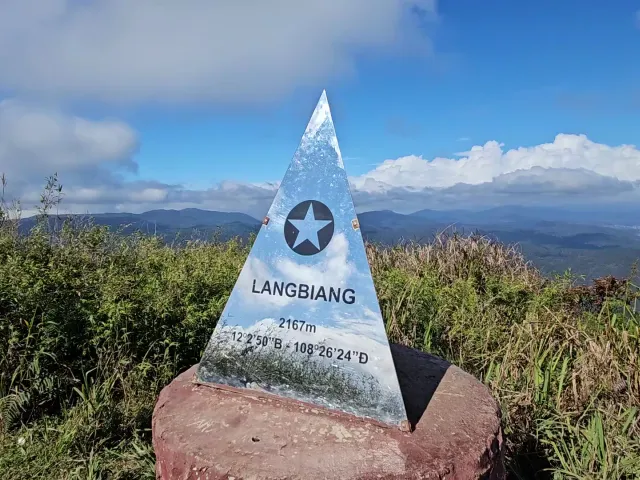
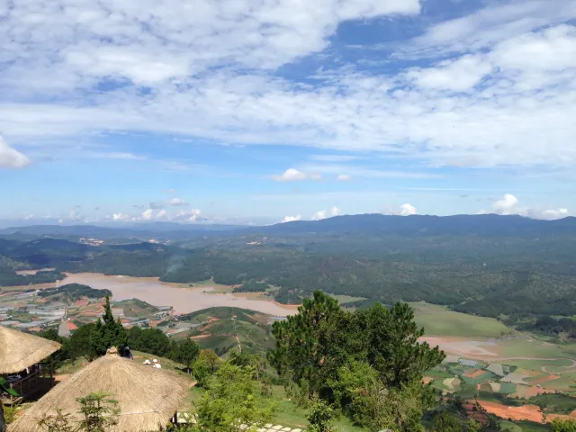
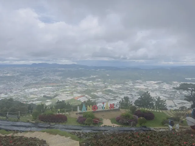
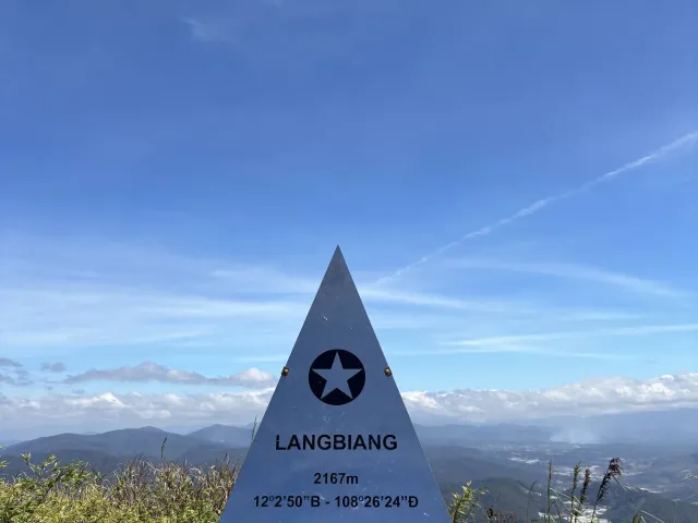
Lang Biang Peak is the highest mountain in the Da Lat area, sitting at over 2,000 meters above sea level. Known as the “Roof of Da Lat,” it rewards those who make the ascent with sweeping views of the Golden Stream, Silver Stream, and the sprawling Central Highlands.
About
Lang Biang is sacred to the local Lach people and carries deep cultural significance. According to legend, the mountain is named after a young man who sacrificed himself for his beloved — a story that adds a layer of romance to the already dramatic landscape.
Reaching the summit requires either a steep hike through pine forest or a ride in a rented local jeep. The hike takes approximately 1-2 hours depending on your pace and the route chosen. The trail winds through dense pine forest, with occasional clearings offering glimpses of the views to come.
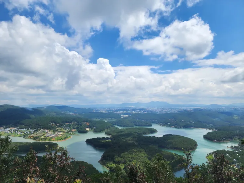
Once at the summit, you’ll find a viewing platform and communication towers. But the real attraction is the unobstructed 360-degree panorama stretching across the entire Central Highlands. On clear days, you can see all the way to the coast.
The mountain is treasured by adventurers and nature lovers for its pristine, wild beauty and the challenging but rewarding ascent. It’s one of Da Lat’s most iconic experiences and a must-visit for anyone who wants to see the city from its highest vantage point.
The View
From the summit of Lang Biang, you’ll see:
- The Golden Stream — Winding through the valley below
- The Silver Stream — A companion waterway cutting through the highlands
- Da Lat city — The entire urban area spread out like a map
- Pine-covered highlands — Endless green stretching to the horizon
- Cloud formations — Dramatic mist and clouds rolling through the valleys
Getting There
- By jeep: Rent a local jeep from the base of the mountain. The ride takes about 20 minutes and drops you near the summit, leaving a shorter walk to the top.
- By foot: The hiking trail starts from the base and takes 1-2 hours to reach the summit. The trail is well-worn but steep in places.
- Guided tours: Available at the base — recommended for first-time visitors.
Location & Contact
- Address: Lang Biang Mountain, Lach, Da Lat, Lam Dong, Vietnam
- Access: Daylight hours; jeep rentals and guided tours available at the base
Tips for Visitors
- Bring water and snacks: There are no food services at the summit — pack your own
- Start early: Beat the afternoon clouds for the best visibility
- Wear proper shoes: The trail can be slippery, especially after rain
- Jeep option: If hiking isn’t your thing, the jeep ride is an adventure in itself
- Best season: Dry season (November–April) offers the clearest views
- Altitude: At 2,000m+, the air is thinner — take it slow if you’re not acclimated