Pang Tieng Waterfall
A 7-storey hidden cascade deep in Lac Duong — remote, wild, and not for the faint-hearted.
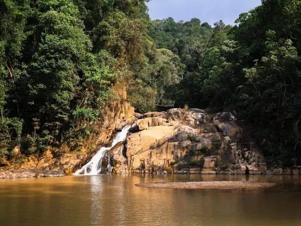
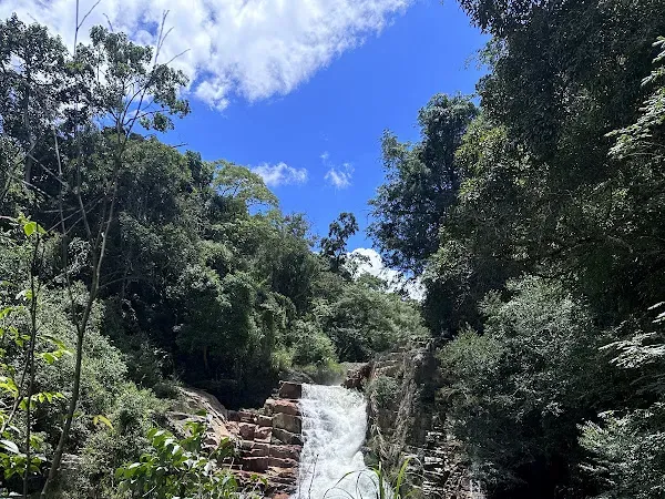
Pang Tieng Waterfall (also called Pang Tien 7-Storey Waterfall) is one of Da Lat’s most remote cascades — a 7-tiered drop deep in the pine forests of Lac Duong district. Getting there is an adventure in itself: rough roads, no phone signal, and almost zero tourists. The reward is a wild, untouched waterfall that few visitors ever see.
About
Tucked away about 25 kilometers from Da Lat in Lac Duong district, Pang Tieng is genuinely off the grid. There’s no 4G signal, so download offline maps before you go. At a three-way junction, take the right path with gravel (đá mi) — the other paths lead to bad roads or private land.
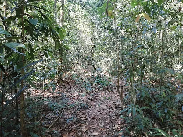
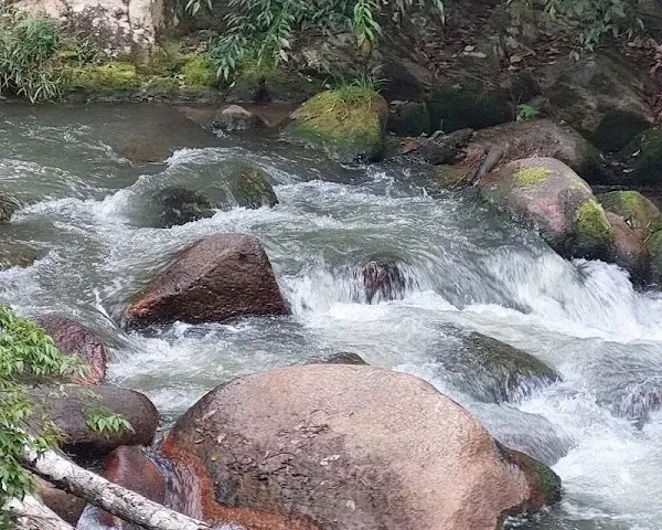
The waterfall sits above a sturgeon fish farm at the top, so the water carries some sediment and organic matter. The path down is through dense, damp forest — watch out for leeches and hornets.
The Waterfall
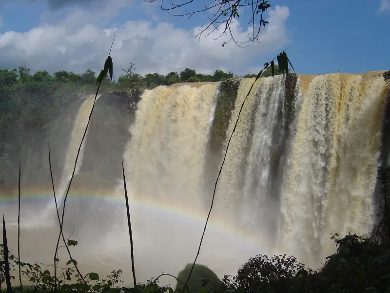
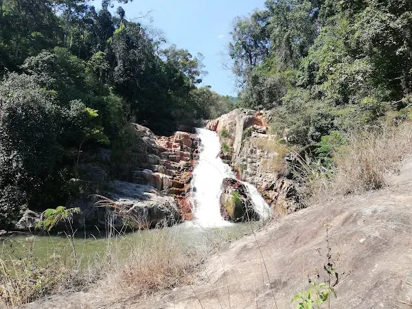
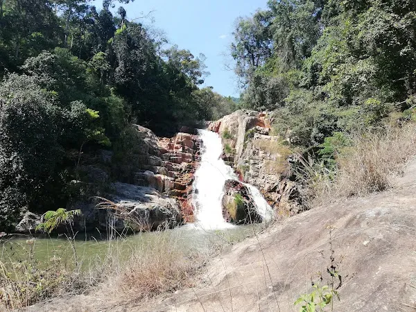
Pang Tieng is a 7-storey cascade flowing over natural rock formations. The surrounding pine forest creates a remote, pristine atmosphere. During rainy season, the flow is strong. The area feels genuinely untouched — almost no tourists come here, as it’s mainly known to locals.
Getting There
- Distance: ~25 km from Da Lat (about 1-1.5 hours)
- Transport: 4WD vehicle strongly recommended; scooter not advised
- Road conditions: Rough, unpaved; one section has gravel (đá mi) — follow this path
- Phone signal: None — download offline maps before departure
- From parking: Walk through damp forest to reach the falls; watch for leeches and hornets
Location & Contact
- Address: Lac Duong District, Lam Dong, Vietnam
- Hours: Open 24 hours (wild waterfall)
What Reviewers Say
Rated 4.4/5 stars. Reviews are polarized — adventurous travelers love it, others warn about access and water quality:
- “Impossible by scooter” — The road is very rough; 4WD strongly recommended.
- “No phone signal” — Download offline maps before you go.
- “Pristine and untouched” — Almost no tourists, just locals who know the spot.
- “Water quality concerns” — Sturgeon farm at the top means sediment and organic matter in the water.
- “Leeches and hornets” — The forest path down requires caution.
Sample reviews:
- “Impossible to get to. The road is very rough. Don’t try going there by scooter.”
- “The road isn’t too hard, but there’s no 4G signal so prepare offline maps. At the three-way junction, take the gravel road on the right. Be careful not to get lost.”
- “Visited this waterfall. The air is cool, everything is surprisingly pristine. Almost no tourists come here — usually only locals know about it. I hope when more people discover it, they’ll visit respectfully.”
- “The top of the waterfall is a sturgeon farm, so the water is wastewater with lots of sediment. Dirty moss grows everywhere. The path down is overgrown. The road in is far and not suitable for weak drivers.”
Tips for Visitors
- Use 4WD — A scooter is not recommended; the road is rough and long.
- Download offline maps — No phone signal in the area.
- Follow the gravel road — At the three-way junction, take the right path with gravel (đá mi).
- Watch for leeches — The forest path is damp; wear long sleeves and check yourself.
- Don’t expect crystal-clear water — The sturgeon farm upstream affects water quality.
- Pack everything — No food, water, or facilities at the waterfall.
- Budget a full day — The difficult access deserves unhurried time.